使用grep -a
作者: PurpoolPoolObservatory
MacOS安装tensorflow
pip install tensorflow-macos
kiwi
安装kiwi时如果收到没有找到libmseed的头文件信息的错误,那就是没有安装libmseed,只支持libmseed2的版本。如果之前安装了libmseed3,那么一定要在lib库里把so文件删除干净,再重新安装libmseed2。
可能会提示找不到hdf5,安装hdf5,同时在makefile文件中,给定INCHDF和LIBHDF的路径,lib的库名也要给定好。运行过程中有可能会找不到hdf5.mod,但可以在系统的lib中找到,拷贝过来,并想办法留在本地。
fftw3的头文件和库位置同样在makefile中给定。如果一直提示找不到fftw3f的库,生成一个软链接。
安装成功后,一定要试运行某个程序,可能会出行找不到某个so库的情况。找到这个库文件的真身,然后复制到系统lib下,一定要复制,软链接不行。
互动童谣2
大人翘二郎腿,孩子放置在翘起的脚的脚踝处,同时大人双手扶住孩子或者拉住孩子的手,一边跷腿一边唱:
跷跷,
跷跷,
跷得我的宝宝捡柴烧,
今日捡一担,
明日捡一礁,
又有卖,
又有烧,
金银财宝进荷包。(同时逗笑孩子)
互动童谣1
孩子坐在大人腿上,拉住他的两只手,一推一拉,同时唱:
扯锣箕,摇锣箕
摇坛子酒
甜蜜子蜜
摇个饼
宝宝唭
摇个屁
XXX唭(同时逗笑孩子)
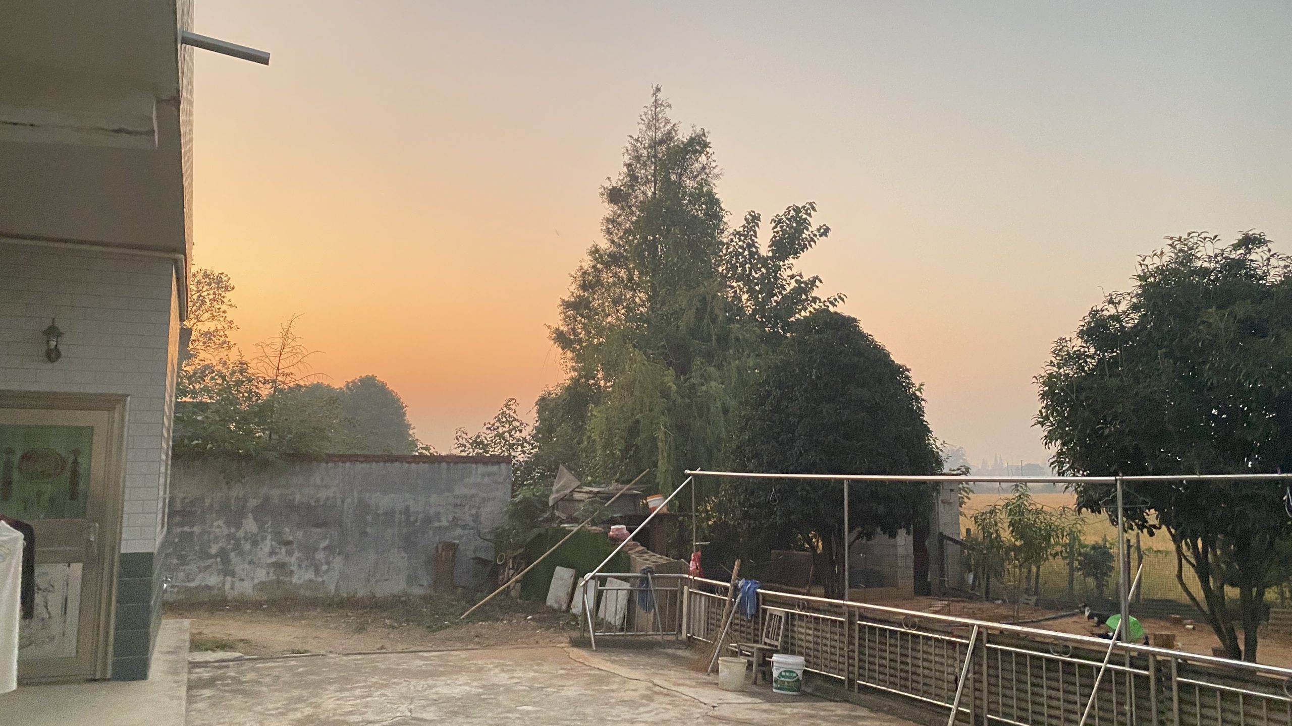
秋日的老家


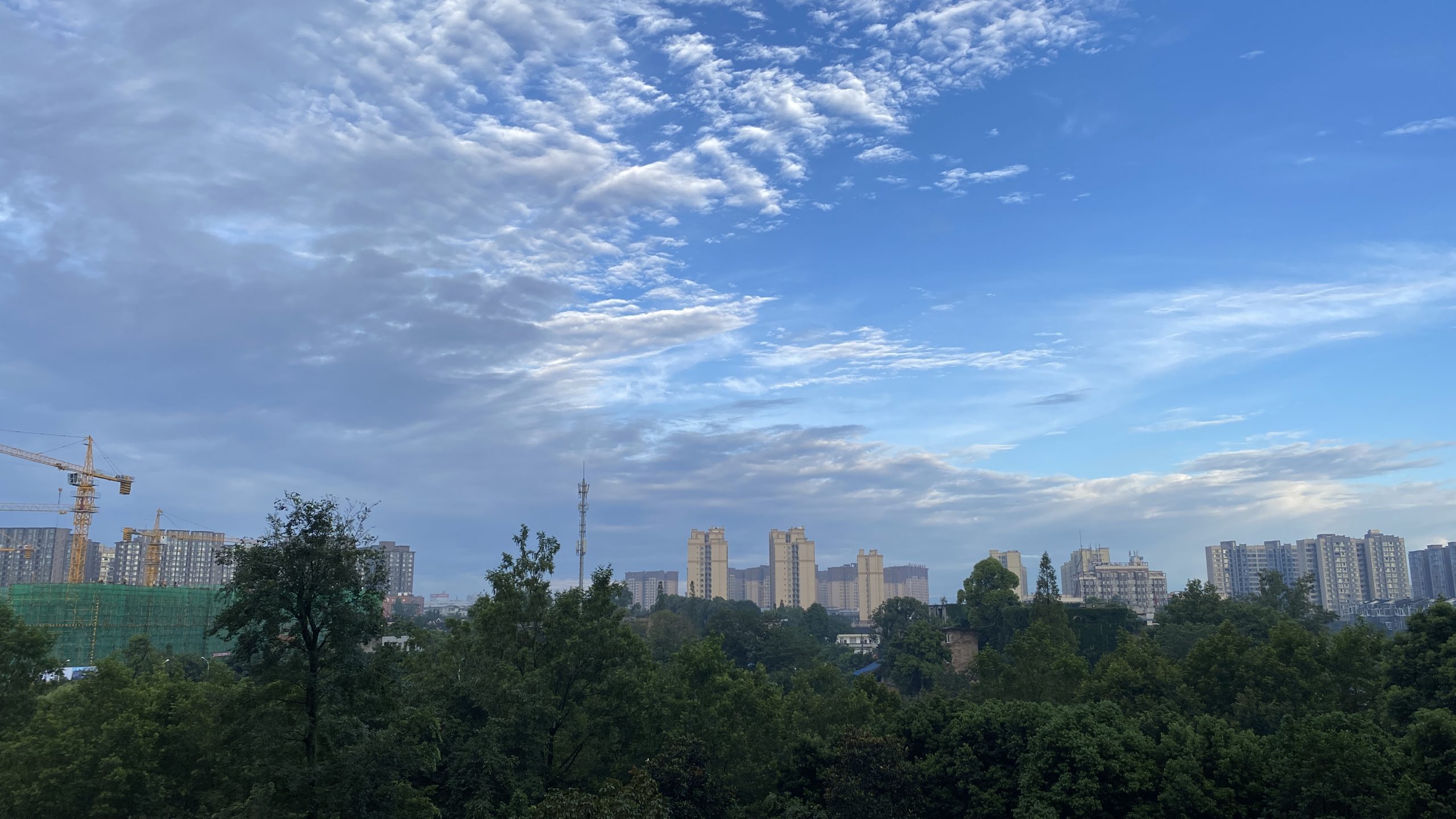
曾经的小家伙长大了

openMP中的动态数组私有化
有一个需求,需要对for循环中创建的动态数组进行操作,记录一下历程:
最开始在函数开头定义了循环变量i和动态数组trace,并紧接着用malloc对trace分配空间,在for循环的前一行用#pragma omp for private(i)能编译成功,但结果错误。分析原因是因为每次循环都共享了trace,导致计算错误;
然后将for前定义改为#pragma omp for private(i,trace),编译出现段错误;
https://www.coder.work/article/1564167给出了解决问题的正确方法:先用omp定义parallel块,然后动态分配内存,再用omp开启for循环,结束for循环后释放内存,并结束parallel块。如下:
#pragma omp parallel num_threads(40) private(i,trace)
{ // parallel 块是需要大括号的
    trace=(float *)malloc(sizeof(float)*sz);
    # pragma omp for
    for(i=0;i<len;i++)
    {
        trace=xxxxxxx;
        .......
    }
    free(trace);
}云销雨霁


家乡风物4
- 头发长度用“深”、“浅”表示。如头发长得太深了/理发师打浅了一些。
- 迟、晚用“暗”表示。如今天起得暗了,要迟到了。
- 父亲,读yá(音“涯”,会不会跟古时候的“阿耶”有关?);母亲,读ěnɡ pó (恩婆?)
- 凳,同“电”音
- 暴降,夏季白天突然而至的强对流天气,音同“抱脚”
- 黄辣丁,读“黄创”
- 鹅卵石,读“模棱股”
- 蝙蝠,读“盐巴老鼠”
- 蜻蜓,读“洋篾篾”
- 游泳,读“打刨秋”
- 日子,读“镊子”
- 这,读“gei(四声)”
- 只,读“炸”
- 窗户,读“亮窗”
- 嘎巴筒,一种将稻草卷成草把子的工具,这里有介绍:https://m.sohu.com/a/489684353_121117455